
Portable remote data collection for analysis of driving trajectories and patterns
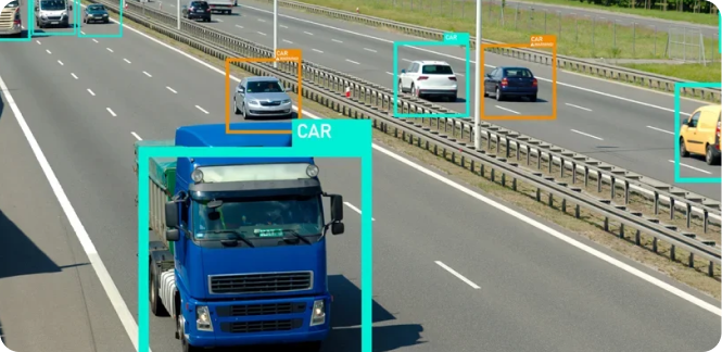
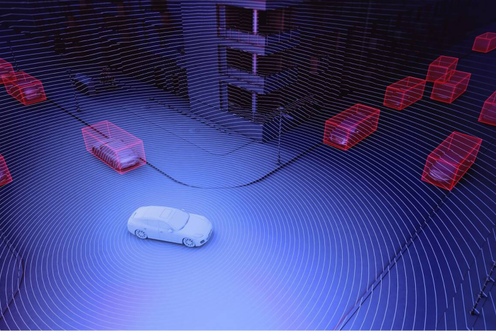
While standard traffic counts may provide enough data to justify a new project, most data collection tools don’t provide detailed enough information to show how potential and implemented projects change traffic patterns at a granular level. With Metrolla’s ability to monitor and combine your camera, LIDAR, and other sensor feeds, you can get 24-hour, 7-days a week detailed information on things like sensor performance and complex street events including object identification, trajectory mapping, jaywalking, near-miss collisions, center line incursions and wrong-way driving.
.png)
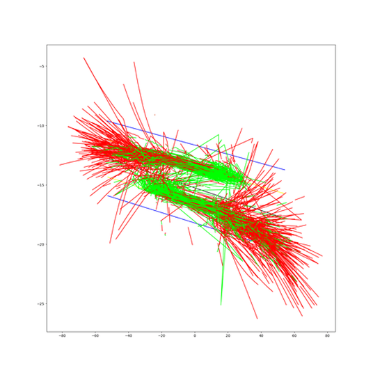
WSP / MidSouth Traffic needed to analyze the impact of new paint striping on the Natchez Trace roadway. Metrolla was brought in to analyze previously collected data and identified significant sensor performance gaps. Now the analysis is underway with reliable and monitored data collection for center line intrusion, speeding, and other safety factors.

.svg)
Please share your details with us so we can best assist you.
Alternatively if you are in a rush you can find time to meet with us here

.svg)

.svg)